

'Storm Barney' will bring gusts of up to 80 mph to coastal areas and cause flooding to some roads, according to the Environment Agency and Met Office.
The second storm to be named by the Met Office after public consultation, Storm Barney is due to hit the UK today. Large swathes of Britain will be battered by gale-force winds on Tuesday afternoon, according to forecasts.
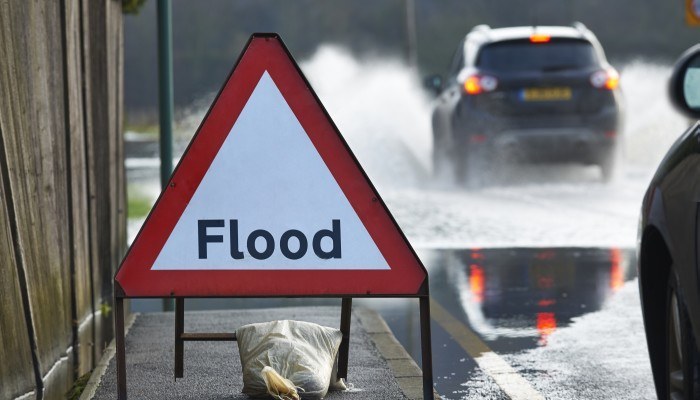
Officials have warned motorists not to drive through flood water, after flood warnings and severe weather warnings were issued across areas in the north west of England and Wales.
The Met Office says more heavy rain is expected today.
"The public should be aware that, given the already saturated conditions, flooding is possible either from standing water or from rivers already swollen by recent rainfall," said the Met Office.
"This could lead to disruption to travel and perhaps localised flooding to properties."
Around 20 flood warnings remained in place on Monday, mainly in parts of Yorkshire, Cumbria and north Wales.
The River Ouse in York burst its banks, flooding some riverside properties.
Flood risk across the north of England is forecast to recede over the coming days, but river levels will remain high.
Floodwater advice for motorists
It is not advisable to drive through floodwater that you cannot easily walk through.
Be sure to watch local weather forecasts before driving anywhere and consider postponing trips if there is a risk of floodwater. If flood warnings are in effect in your area it may be advisable to move your car to a safe place.
 Breakdown Cover from